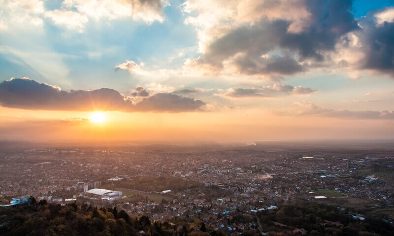
Some photographers and companies specialize almost exclusively in the science of photogrammetry aerial photography and there are enough of these companies to warrant the organization of an association known as the American Society of Photogrammetry, which sponsors annual conventions and seminars for studying and advancing the work of aerial photography. Special planes, with cameras installed into the planes' bottoms, make up a vital part of their expensive and specialized equipment. The planes are used for mapping and surveying operations throughout the United States and foreign countries.
Many aerials are made by the general photography studios found in both small towns and cities. Rented airplanes, planes belonging to friends, and all kinds of cameras are used in doing the photography. Where aerial cameras like those used in the different branches of the armed forces are not available, any format handheld camera, dependent upon the subject matter and quality required by the client, can make acceptable aerial photographs.
Most of the large scale photogrammetry work is done for county, state, and federal governments, as well as for companies holding large acreages of land and for foreign governments. Photographs of most state land are on file for use in determining where new charts of highways, pipelines, and rivers will be done. Also, the heights of mountains and depths of valleys and canyons are studied and measured from these aerial photographs. Pollution of rivers and lakes as well as the effects of fires and diseases of forests and crops can be detected through the use of aerial photographs.
Aerial photographs also are used for planning large scale projects such as the locating of airport sites, railroad systems, power lines, and so on. Other projects involve surveying crop conditions and timberland and recording changes in rivers, shorelines, and mountains where erosion is at work. Still other air view subject matter includes factories, homes, country clubs, housing projects, and shopping centers. Likely markets for such pictures are the owners of the properties, real estate agents, local officials, colleges, yacht clubs, airports, and newspapers.
Aerial photography is a specialization in which photographers can earn a regular living. Aside from jobs with airlines, employment opportunities can be found in government work and on the staffs of large aerial survey companies. Interpreting photographs of the earth's resources taken from space is a field for future photographers with scientific training and backgrounds.
Lyndon B. Johnson once said, "If we had no justification other than the photography, it would be worth ten times more than the $35 $40 billion the U.S. has spent to date on its space program." Many Americans would agree with him.
Some excellent thoughts about aerial photography appeared in The Professional Photographer magazine. Harper Leiper, past president of the Professional Photographers of America, wrote:
There is money to be made in aerial photography but you cannot make it on aerial photography alone. You've got to be doing several things and have income from all of them.
It takes time to build a file of stock aerials. But if you have a good system, they are money makers. Our stock file is about 7,000 11 x 14 prints. They account for about a third of our gross now. It's the easiest profit you'll ever make. We have a big map indexed to the file, and the customer just comes in and looks up the area on which he wants an aerial. We charge more for older prints, in increments of ten years.
If a customer purchases an aerial from our stock file and wants more copies of it, he doesn't have to pay the basic fee over again. He can get as many as he wants at our regular reprint rates. Many times they do request 25 to 50 copies.
Every three years I do a City Strip to make a record of the populated areas of Houston. I go to 10,000 feet in a fixed wing aircraft and, using a handheld camera, shooting at about an 80° angle along a predetermined path, I strip the town at 100 mph. I make an exposure every 30 seconds, and I find that these overlap enough to give me a complete picture of the city.
